Featured Image Credit: Tropical Tidbits
Topics: Weather, News, US News, World News
Two large storms could end up interacting with one another, and it could have a devastating impact on parts of the US.
So far, this year's tropical season in the Atlantic has been quieter than previous years, and there have only been seven named storms as of September 22.
A hurricane will get a name once it reaches tropical storm strength (winds of 34 knots), says the Met Office.
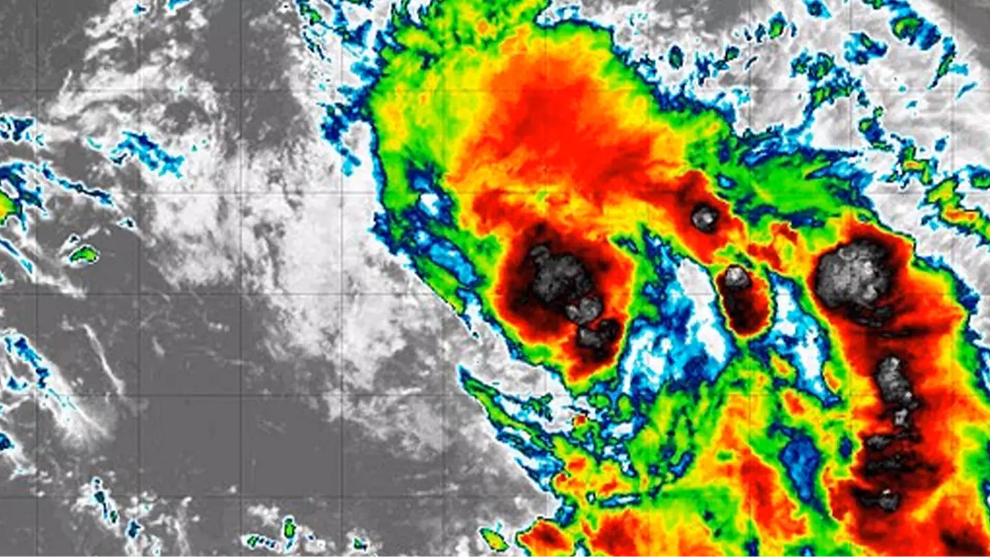
But this year's tropical season has now got its eighth named hurricane, that being Tropical Storm Humberto.
Advert
This particular storm developed yesterday (September 24) and is forecast to take a curved path between Bermuda and the East Coast of America, reports AccuWeather.
Elsewhere, another storm dubbed Invest 94L is expected to become the ninth named storm of the year and will be known as Storm Imelda.
Per Fox Weather, an 'invest' is a naming convention used by the National Hurricane Center to identify areas it is investigating for possible development into a tropical depression (the weakest stage of a tropical cyclone) or tropical storm within the next seven days.
The East Coast and the Bahamas are expected to be impacted by the two storms.
Advert
"There are too many imaginable scenarios to enumerate, but the bottom line is that everyone in the Bahamas and along the East Coast from Florida to the mid-Atlantic should plan to stay informed this weekend," FOX Weather Hurricane Specialist Bryan Norcross warned.
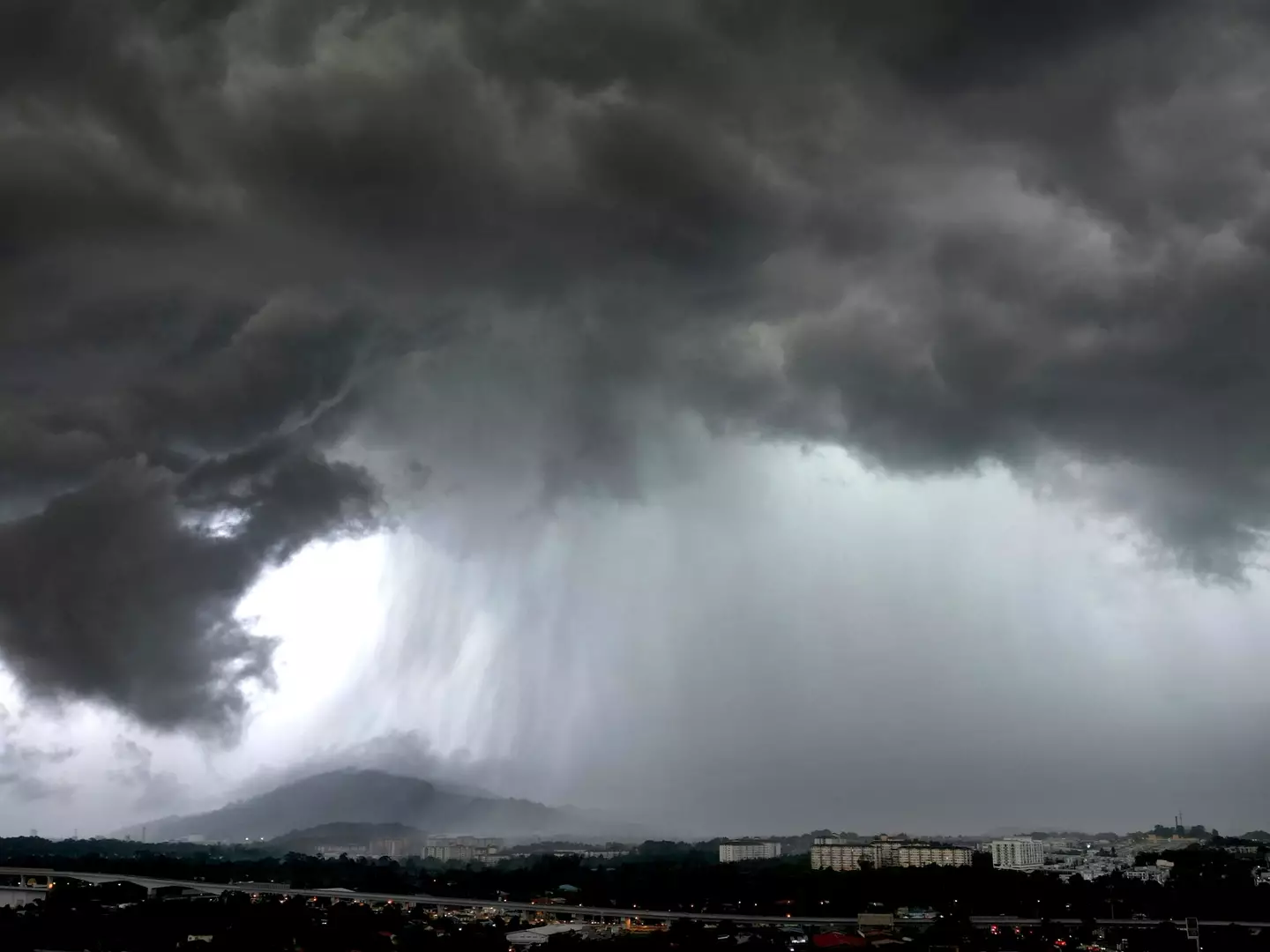
Areas of the US may face flooding even if Invest 94L remains offshore.
WPLG-TV hurricane specialist Michael Lowry said, via USA Today: "Even if 94L stays weak and offshore next week, the upper-level pattern with a cutoff low pinching off over the Tennessee Valley could funnel abundant tropical-laden air into the Carolinas and parts of the southern and central Appalachians and Mid-Atlantic for the start of next week."
He went on to warn of an 'enhanced flood threat for these areas' that could start over the weekend and urged people to continue to monitor the situation.
People are worried that Tropical Storm Humberto and Invest 94L will collide with one another in what's known as the 'Fujiwhara Effect'.
Advert
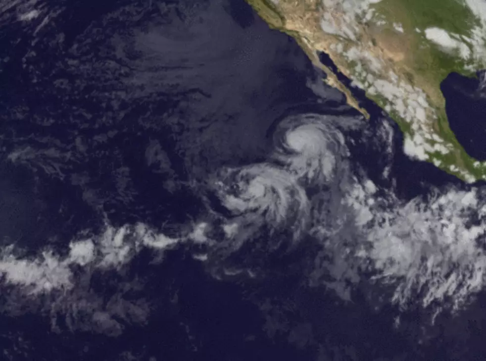
The National Weather Service says of this: "When two hurricanes spinning in the same direction pass close enough to each other, they begin an intense dance around their common center.
"If one hurricane is a lot stronger than the other, the smaller one will orbit it and eventually come crashing into its vortex to be absorbed.
"Two storms closer in strength can gravitate towards each other until they reach a common point and merge, or merely spin each other around for a while before shooting off on their own paths."
Advert
It adds that on rare occasions, the storms that collide can go on to result in one larger storm rather than two smaller ones.
The storms need to be within 900 miles of each other before the 'Fujiwhara Effect' can begin.
This happened with Hurricane Irwin and Hurricane Hilary in 2017, where the two collided but went on to fade out over the ocean.