Experts are now tracking two more storms right after deadly Hurricane Milton hit
Meteorologists are currently tracking two storms over the Atlantic ocean as Hurricane Milton makes landfall in Florida.
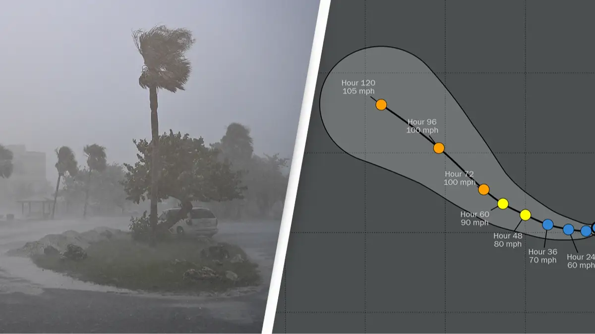
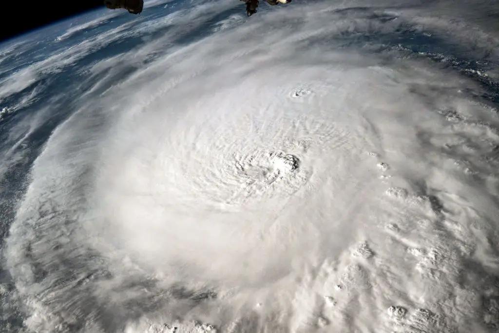
Hurricane Milton is currently causing destruction in Florida, but meteorologists are still keeping an eye on other systems which could grow into something dangerous.
There are currently two other storm systems over the Atlantic Ocean which could become strong storms in the coming days.
Advert
At present they are both far smaller than Milton, which was classified as a category five hurricane while it grew over the Gulf of Mexico.
These two are much smaller, but are currently growing and seeing increasing wind speeds.
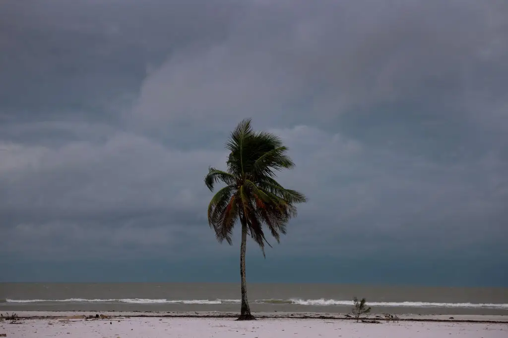
Hurricane Leslie gained strength in the north-east Caribbean on Wednesday evening.
This led to the storm being classed as a category one hurricane, the lowest class of hurricane.
But Leslie is not the only storm system being watched closely by meteorologists.
Another storm is located several hundred miles north of Puerto Rico and the Dominican Republic.
This has been given the catchy name of Invest 93L, with the L standing for the fact that it's a low pressure system.
While it's not currently at hurricane-level strength the storm is being observed to see if winds reach above a certain speed.
If they reach the minimum wind speed required for a category one hurricane then the storm is set to be called Hurricane Nadine.
At present however Invest 93L is not at a high enough level to be classed as such, with the highest sustained wind speed being 85 miles per hour.
It is currently moving at around 10mph to the northwest.
If it is upgraded, then Nadine would be the 14th storm to be named in the 2024 hurricane season.
Neither of these two storms is expected to make contact with the US mainland unless their pressure and wind change dramatically.
Nonetheless meteorologists have said that it's not impossible, with Accuweather senior meteorologist Tom Kines telling the Mail: "I don't want to say it's a zero percent chance.
"But because, you know, Mother Nature, she's got ways to throw us curve balls. It's unpredictable, but I just don't see."
Kines went on to reiterate that although he won't rule out that these two become dangerous, Milton is the storm which poses the biggest risk.
He said: "Of those three, Milton is by far the most dangerous and will be the most dangerous."
So while it's still important to keep an eye on other storms, Milton is very much the priority.
Topics: News, US News, World News, Weather, Hurricane Milton
 Kit Roberts